地図をクリックして、エンコード化されたポリラインを貼り付ける方法が、地図に線を描く方法としては便利そうです。
今回は、そのポリラインをエンコード化する方法ためのツールとして、Google先生のデモマップをいじって自分好みに使いやすいように直しておきます。
地図をクリックしてポリラインを描いた後にアイコンを移動させたり、削除しても逐一エンコードされたポリラインが表示されるように変更してみました。
1.ソース
<script type="text/javascript">
var poly, map;
var markers = [];
var path = new google.maps.MVCArray;
var centre = new google.maps.LatLng(35.590319,139.739176);

function initialize()
{
	map = new google.maps.Map(document.getElementById("map"),
	{
	zoom: 10,
	center: centre,
	mapTypeId: google.maps.MapTypeId.ROADMAP
	});
	var polyOptions =
	{
	strokeColor: '#000000',
        strokeOpacity: 1.0,
        strokeWeight: 3,
        map: map
        };

        poly = new google.maps.Polyline(polyOptions);
	poly.setMap(map);

	google.maps.event.addListener(map, 'click', addPoint);
}

function addPoint(event)
{
	var path = poly.getPath();
	path.push(event.latLng);

        var encodeString = google.maps.geometry.encoding.encodePath(path);
        if (encodeString)
	{
        document.getElementById('encoded-polyline').value = encodeString;
        }

	var marker = new google.maps.Marker(
	{
      	position: event.latLng,
      	map: map,
      	draggable: true,
   	title: '移動できます',
   	icon: "http://labs.google.com/ridefinder/images/mm_20_blue.png"
    	});

    	markers.push(marker);
    	marker.setTitle("#" + path.length);

    	google.maps.event.addListener(marker, 'click', function()
	{
      	marker.setMap(null);
      	for (var i = 0, I = markers.length; i < I && markers[i] != marker; ++i);
      	markers.splice(i, 1);
      	path.removeAt(i);
        var encodeString = google.maps.geometry.encoding.encodePath(path);
        	if (encodeString)
		{
        	document.getElementById('encoded-polyline').value = encodeString;
        	}

      	});

    	google.maps.event.addListener(marker, 'dragend', function()
	{
      	for (var i = 0, I = markers.length; i < I && markers[i] != marker; ++i);
      	path.setAt(i, marker.getPosition());
        var encodeString = google.maps.geometry.encoding.encodePath(path);
        	if (encodeString)
		{
        	document.getElementById('encoded-polyline').value = encodeString;
        	}
      	});
}
window.onload = initialize;

</script>
2.完成サンプルデモ
◆Google Maps JavaScript API V3 デベロッパーガイド
◆Google Maps JavaScript API V3
関連記事一覧
 緯度と経度をエンコード化して、簡単に地図の中に複数の線を書く(ポリライン polyline)
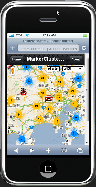
 今度はアイコン(マーカー)を地図に表示+XMLファイルデータ読み込み/Google Maps JavaScript API V3
 ナビゲーションコントロール、マップタイプコントロール、距離スケールコントロールを表示する標準マップ
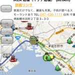 目的地アイコン(マーカー)をクリックして、ルート検索結果と距離を表示させる方法の続き
 Google Adsense グーグルアドセンスを地図の中に表示する方法
- マーカー(アイコン)をクリックして、そのマーカーを消す
 Google Map(地図)にアイコン(マーカー)を表示させる。
- サンプルデモマップ/地図に表示させるパノラミオ(panoramio)写真をタグで指定する。
スポンサードリンク
Leave a Comment